Climate: What are they thinking?!
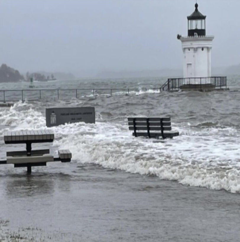
For reasons that defy logic, PK Realty is asking for a zone change to build 1,000 residential units and a hotel on South Portland's Bug Light peninsula. The site is vulnerable to flooding, as we saw in January 2024. The maps below show two expected flooding impacts from a 10-year storm at projected sea levels during an average high tide. This doesn't reflect storm surge effects.
An intensive development that includes housing does not belong on South Portland's waterfront.
Source: Preparing for Coastal Flooding in South Portland, which incorporates data from the One Climate Future Vulnerability Assessment and the Gulf of Maine Research Institute.
-
DevelopmentRed: Areas designated in proposal
-
FloodingBlue: Flood areas
-
ImpactPurple: Development underwater
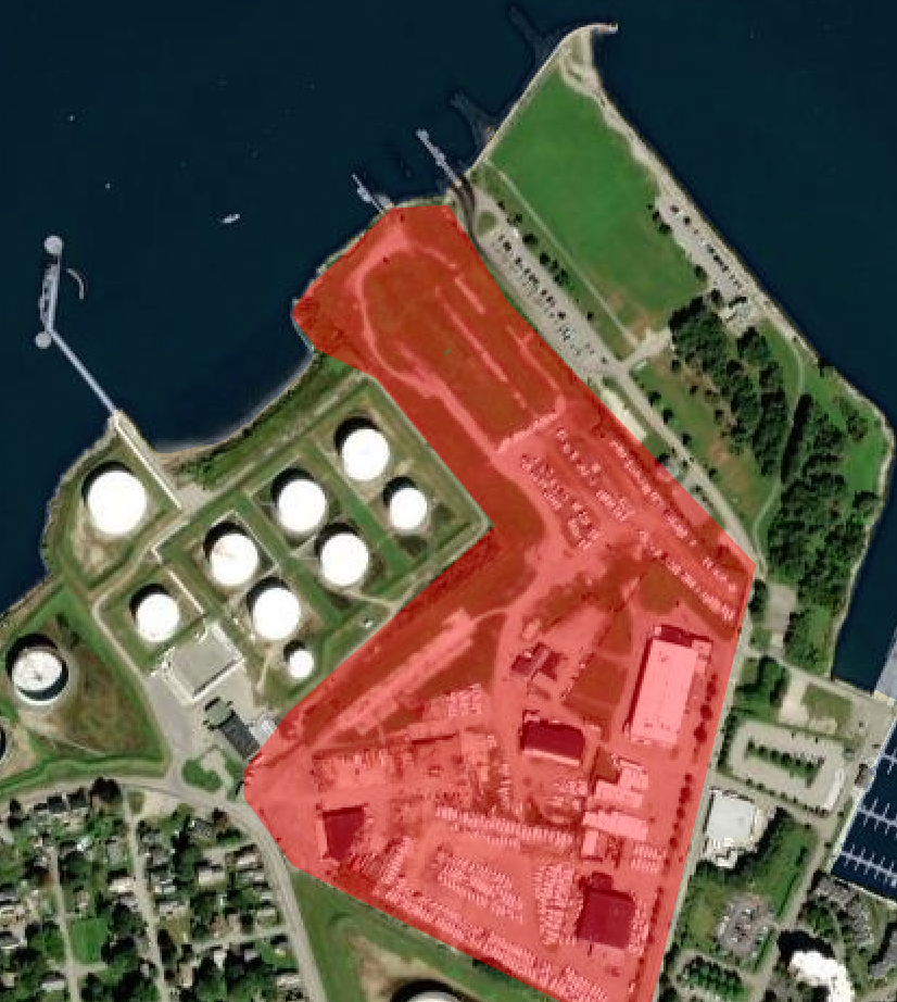
The footprint for the proposed 30-acre Yard South development on the waterfront alongside Bug Light Park.
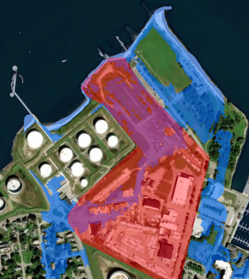
Same footprint with anticipated impact of 3-ft sea-level rise by 2050 - just 25 years from now.
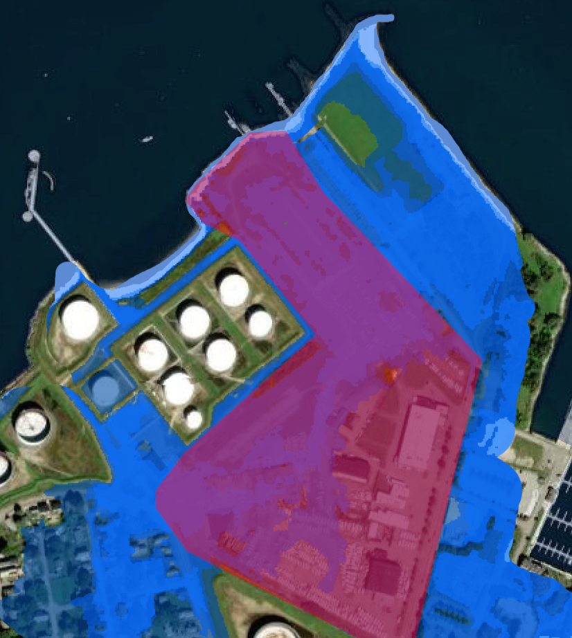
Same footprint with anticipated impact of 8.8-ft sea-level rise by 2100.
Resources to Guide Climate-Change Preparation
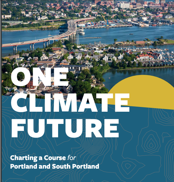
ONE CLIMATE FUTURE: A Joint Climate Action and Adaptation Plan. Along our coast, sea levels are rising and the Gulf of Maine is warming at increasing rates. In adopting One Climate Future, Portland and South Portland committed to a set of climate goals to reduce greenhouse gas emissions and prepare for the effects of climate change.
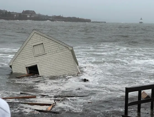
PREPARING FOR COASTAL FLOODING: South Portland will face climate hazards, such as sea level rise, more extreme weather, and higher temperatures. These hazards will impact the city's ecosystems, economy, and infrastructure. Learn more at this website.
 No Yard South